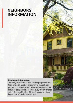
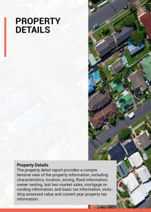
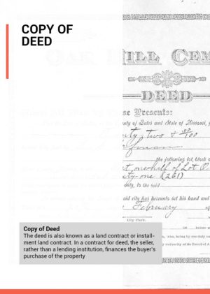
Plat Map
$15.00
A plat map also known as assessor map is a map of a land area, usually on the scale of a neighborhood or township, and a plot is a piece of land used for a single purpose (such as a park or a home). Essentially, a plat map shows the collection of plots that make up a neighborhood.
- • Scale
- • Property description by lot
Assessors are government officials who maintain annual assessments at a uniform percentage of market value. An assessor signs an oath to this effect when certifying the tentative assessment roll. The assessment roll is a document containing each property assessment. Each year assessors are required to keep current the physical description, inventory, and value estimate of every parcel.
Product Description
Plat map is a document drawn to scale, showing the divisions of a piece of land. It gives the legal descriptions of pieces of real property by lot, street, and block number.
An assessor is a local government official who determines the value of a property for local real estate taxation purposes. The figures assessors derive are used to calculate future property taxes. The assessor estimates the value of real property within a city or town’s boundaries. This value is converted into an assessment, which is one component in the computation of real property tax bills.
Local municipalities base their property tax rates upon the value of owned property, including land. The assessments made by local assessors provide the basis for the municipality’s calculation of property values. The local governing body uses the assessed tax to fund water and sewer improvements, provide law enforcement and fire service, K-12 and higher education, highway construction, and other services that benefit the community at large. Property tax rates and the types of properties taxed vary by jurisdiction, as does assessor certification.